Newsletter Subscribe
Enter your email address below and subscribe to our newsletter

Enter your email address below and subscribe to our newsletter

If you’ve been enjoying Jackson’s suspiciously warm, suspiciously sunny, suspiciously not November-ish weather… well, enjoy your last few days of it. Because, according to multiple forecasts, premium apps, national models, NOAA long-range outlooks, and the kind of charts only true weather degenerates love, the vibes shift hard next week.
And yes, before you ask: I’m a massive weather nerd. I live for this stuff. I read the Climate Prediction Center the way normal people read novels. I run high-res models on my phone for fun. And I use Carrot Weather, the sassiest and most accurate premium weather app on Earth. The same one that literally saved my family’s life from an EF3 tornado in Lincoln, Nebraska. If Carrot says “brace yourself,” I listen.
And Carrot is now whispering sweet November chaos into our ears.
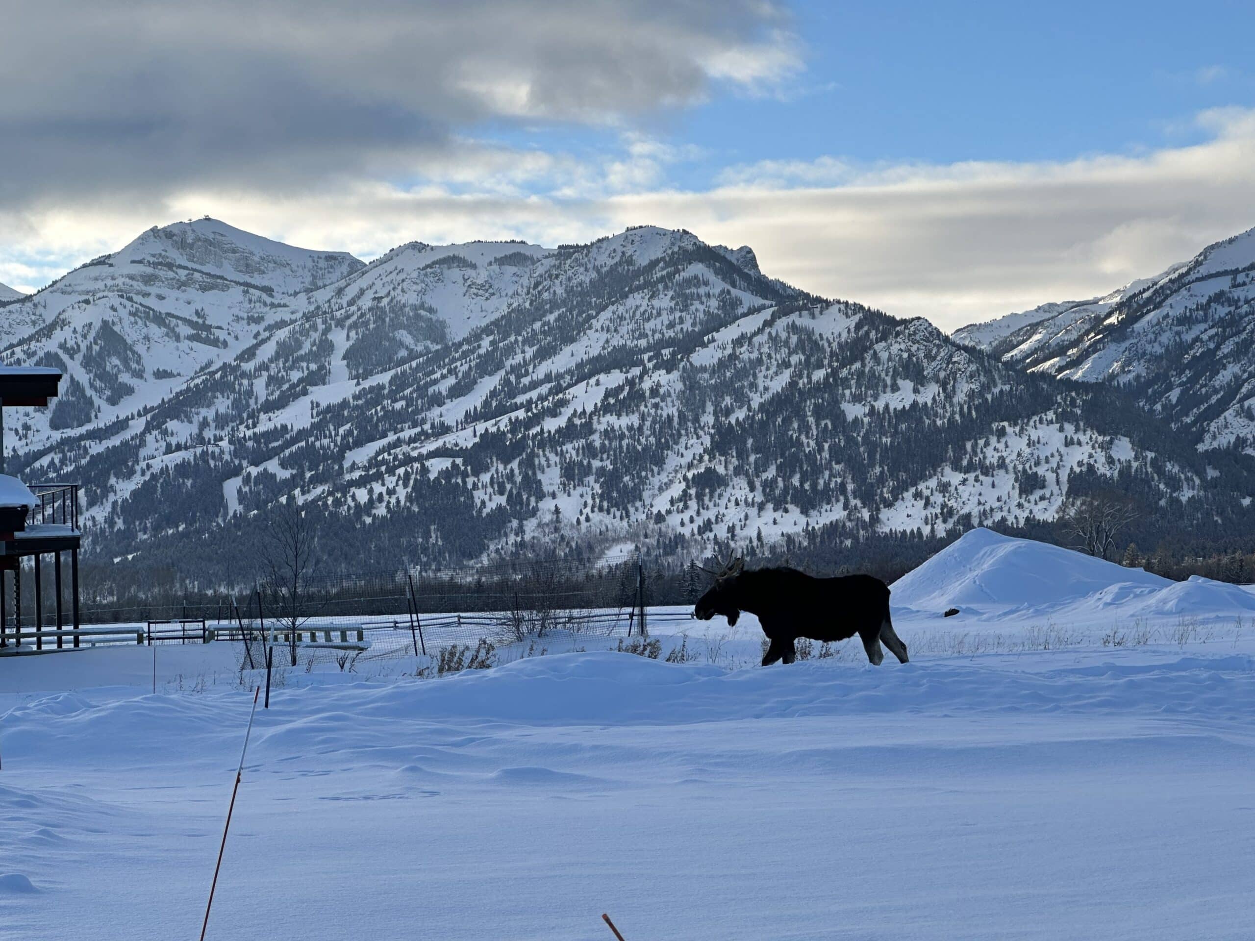
Through Sunday, Jackson stays in full “Fall Magazine Spread” mode:
A perfect weekend to hike, bike, pretend you’re still doing yard work, or smugly remind your out-of-state relatives that Jackson doesn’t really have “fall,” it just has extended pre-winter optimism.
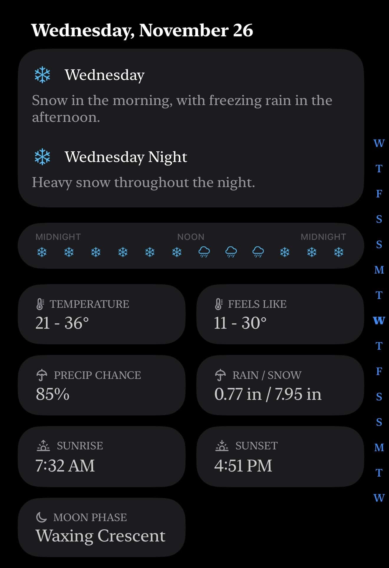
Carrot is already hinting at:
Precip chances aren’t overwhelmingly high yet (Carrot is calling ~29%), but the structure of the storm is the important part: A colder trough dropping in right as Thanksgiving week starts.
This is classic “November finally woke up” energy.
This is where the models get excited.
Carrot shows:
This one has “holiday travel headache” written all over it.

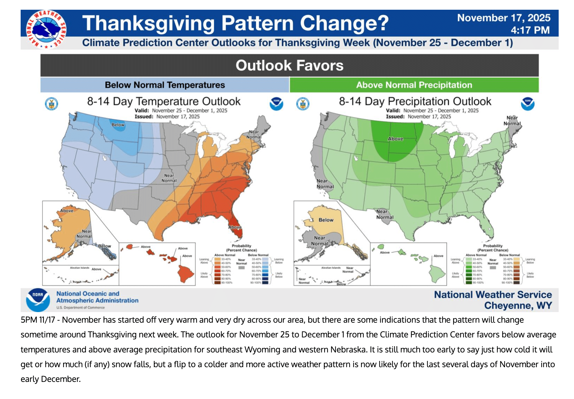
The Climate Prediction Center’s Thanksgiving week outlook backs up what apps like Carrot are hinting at:
Translation:
Winter may be fashionably late this year, but she’s about to sashay down the Tetons runway.

Here’s the honest forecast breakdown:
In other words:
We’re on the runway for a legit Thanksgiving-week storm, but final boarding is not yet confirmed.
If you’re traveling next Tuesday or Wednesday, keep an eye on the updates, or better yet, ask a weather nerd. The type who reads precipitation charts like holy scripture. Preferably one who survived a tornado thanks to a premium app with a snarky personality.
And yes, I’ll keep tracking this storm all weekend like the weather-obsessed guy I am.
If Carrot starts screaming, you’ll be the first to know.
AntlersArch founder and the voice behind Teton Tattle.